Anthropology's Casey Barrier Maps the Ancient North American City of Cahokia
The National Geographic Society has awarded Assistant Professor of Anthropology Casey Barrier a research grant to conduct large-scale geophysical investigations and test excavations at a site in southern Illinois that was America’s first city.
Located directly across the Mississippi River from St. Louis, Cahokia was the largest pre-Columbian settlement in North America, with more than 10,000 residents. Here, during the 11th through 14th centuries AD, Native Americans built more than 100 earthen monuments around plazas, neighborhoods, ritual districts, and work sites.
“There are only a few places in the world where humans independently adopted urban lifestyles,” Barrier explains. Archaeologists identify Cahokia as one of those sites where people moved together, aggregated, and built a city.
But Cahokia’s early history remains an enigma, and excavations along its creek banks produce intriguing evidence of a pre-urban village on the site. Similar mysteries surround the nearby site of Pulcher, most likely a Cahokia satellite or proto-urban settlement itself that would eventually lose its populations through emigration to Cahokia or elsewhere.
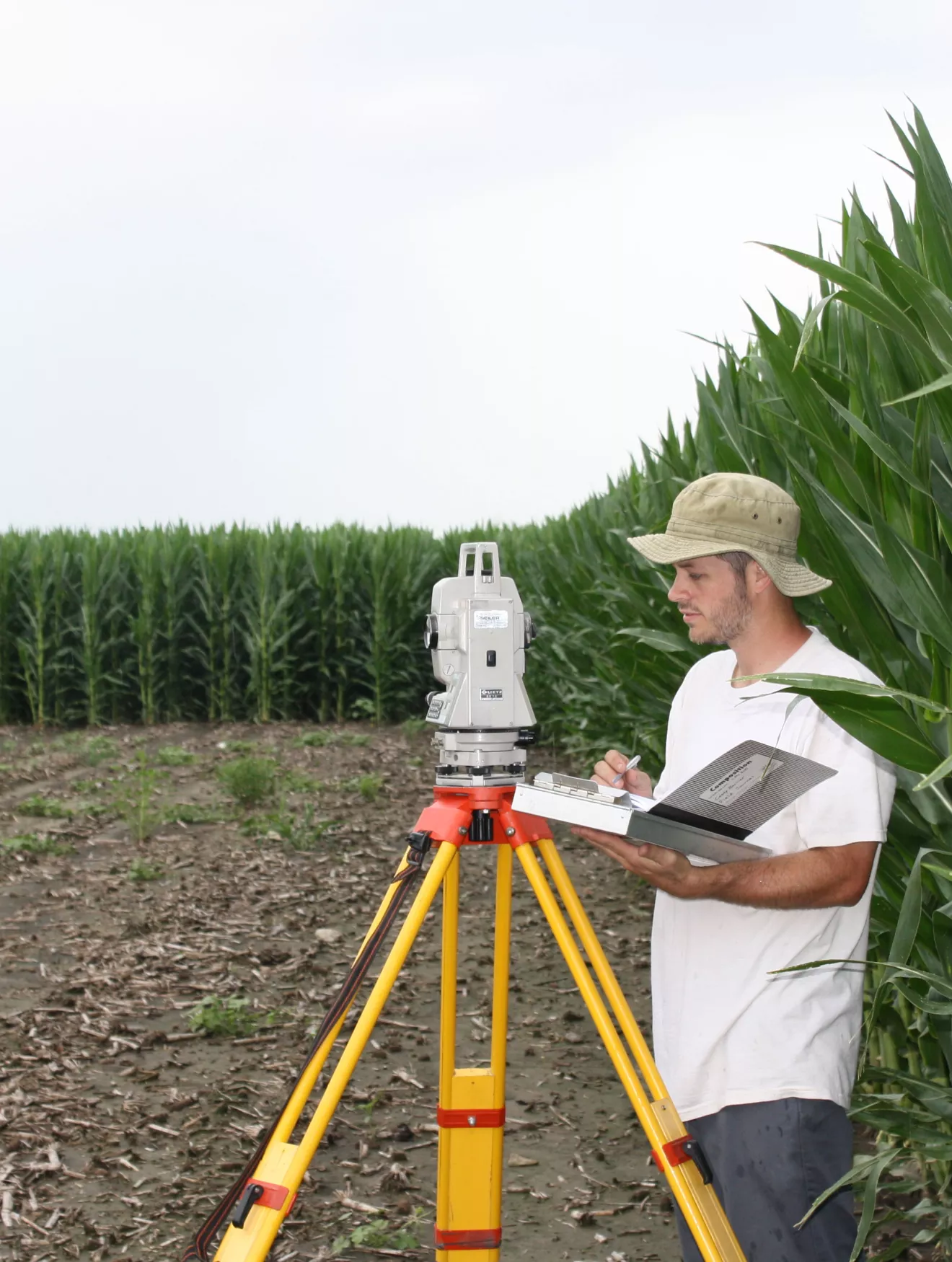
For this mapping project, Barrier will conduct a geophysical survey at both the Cahokia and Pulcher sites. “In the past we would spend so much time and effort excavating just to see small segments of archaeological remains underneath the modern-day surface,” he explains. “With geophysical techniques like magnetometry and radar, we can survey large areas in short amounts of time and produce what are basically X-rays of the foundations of buildings, of houses, of cooking pits, of trash pits, of earthen mounds that have since been plowed down.”
With the National Geographic funding, Barrier and his team will be targeting areas where the initial occupation of Cahokia is thought to have taken place. “Then we’ll conduct test excavations to do what we call ground-truthing to determine whether what we’re looking at is actually what we think it is.”
And as he conducts this work, Bryn Mawr students will be on the case, learning geophysics, taking part in excavation and surveys, and then analyzing artifacts. “One of the great things about being at Bryn Mawr,” he says, “is having a laboratory with the technologies we need to conduct analyses right here on campus.”
And those analyses, Barrier explains, will provide the basis for longer-term studies to expand our understanding of the particular story of Cahokia’s growth and also shed light on the emergence of urbanization.